Day four across Yosemite to Bishop
Leaving Oakhurst the next morning, the air was brisk, somewhere in the forties, and it was a wonderful change. Riding toward Fish Camp, I began remembering just how beautiful Yosemite is. I’d been before, but it had been at least ten years. Somehow I had forgotten enough to be surprised all over again.
Even at that hour, a few cars were gathering along the route. Nothing difficult, just enough to confirm we had made the right decision by leaving early.
Our first destination was Glacier Point, a side trip off the road into Yosemite Valley. The ride up was ideal. Limited traffic, good pavement and scenery almost too much to take in. As we moved from shaded stretches into sunlight, I could feel the warmth. It was one of those mornings you live to ride for.
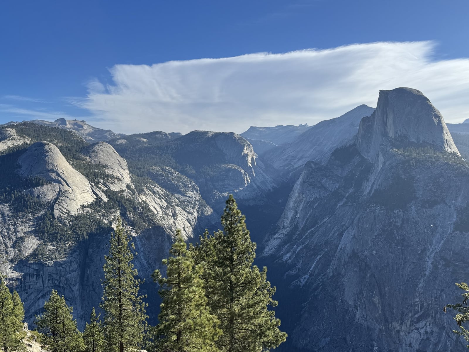
I had previously stood at Glacier Point with my family for sunset. This time we were there in the morning, looking across the valley toward Half Dome and watching hang gliders launch into the space in front of us. We watched at least three or four go.
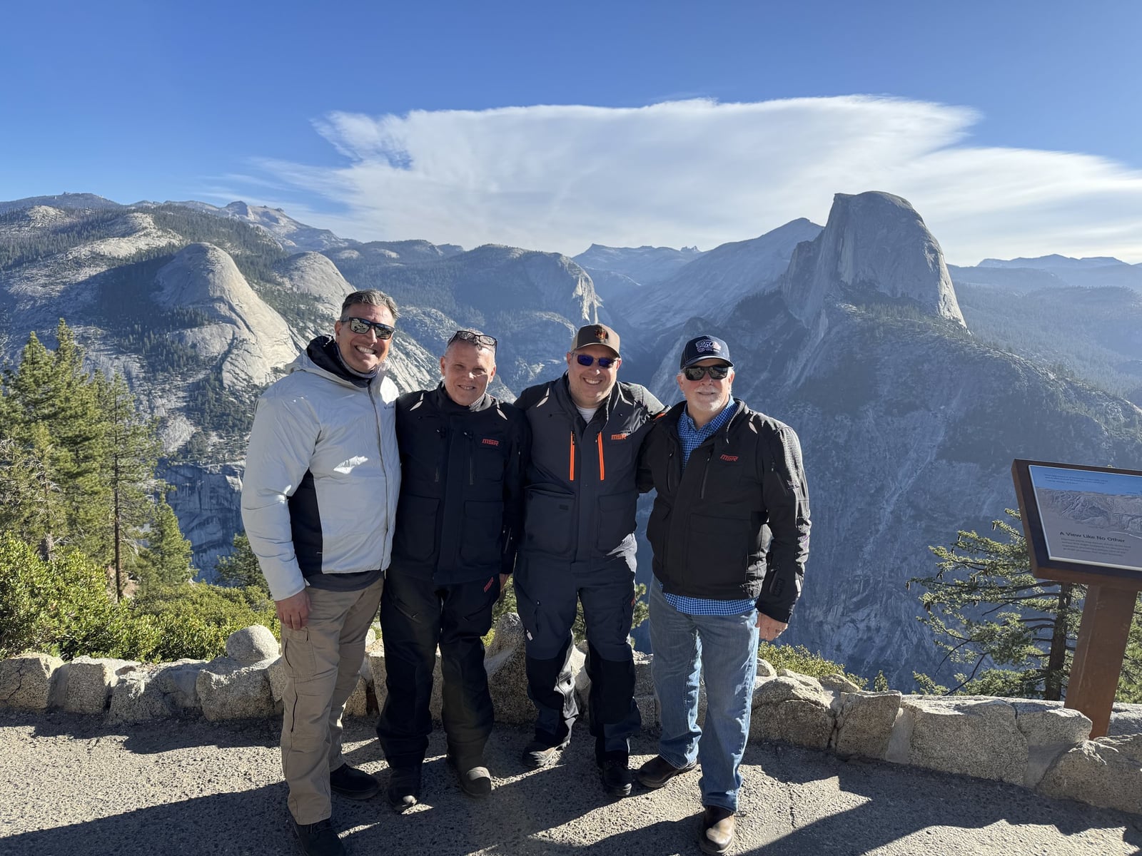
They were majestic. I also thought they were insane, although not in a bad way. Maybe that is how some people look at us on motorcycles. I could admire it while knowing there was not a chance in hell I wanted to try it.
The person helping with the launches appeared to be standing on sloping granite near the edge with no visible safety rope. If he slipped, I could not see where he would stop. That held my attention almost as much as the gliders.
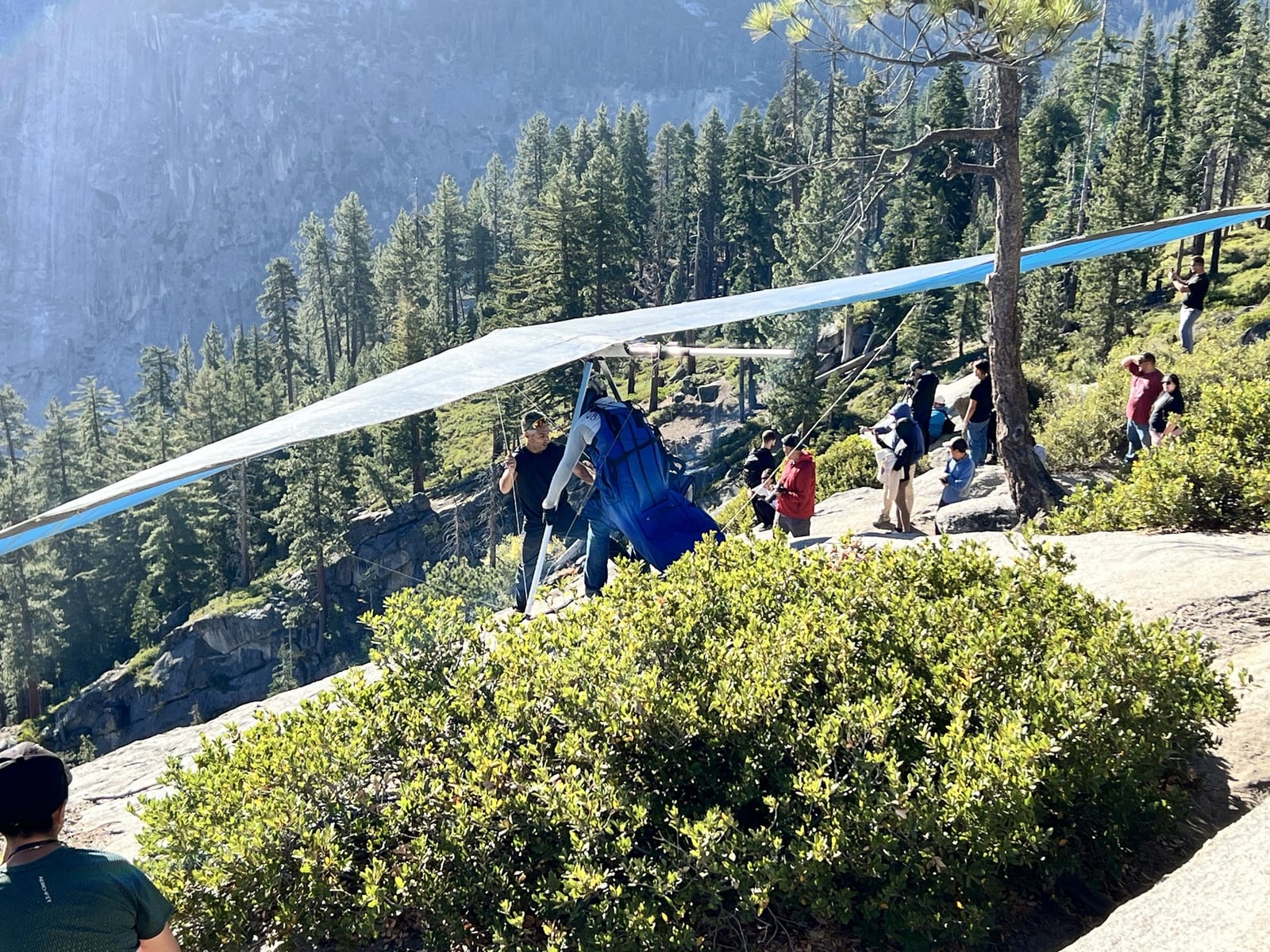
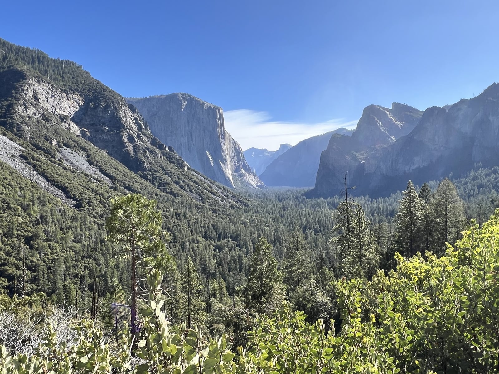
By the time we left, the parking lot was essentially full. We retraced Glacier Point Road, then headed down toward Yosemite Valley and Tunnel View. Coming through the tunnel, with El Capitan and Half Dome ahead, was every bit as beautiful as I remembered. Traffic was manageable, and we found parking at Tunnel View for photographs.
Farther into the valley, Peter and I walked up to the Bridalveil Fall viewing point. He’d been there only a few months earlier, during the spring snowmelt, and said the water had been gushing so heavily that you could feel the mist from where we stood. Now it was just a trickle.
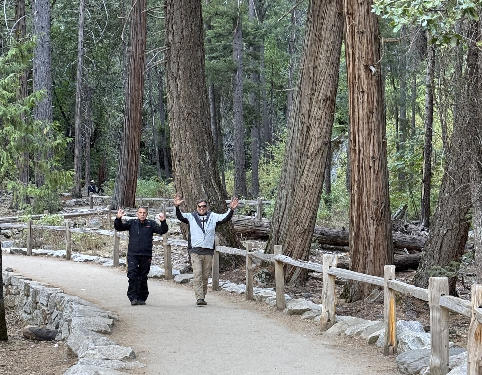
We continued to Yosemite Village for snacks, water and a restroom break, then headed out of the valley to begin the climb toward Tioga Road. Traffic thinned as we climbed. Apart from a short rough stretch near the beginning, the pavement was excellent. The pullouts were manageable, the road flowed, and the beautiful scenic hits just kept coming.
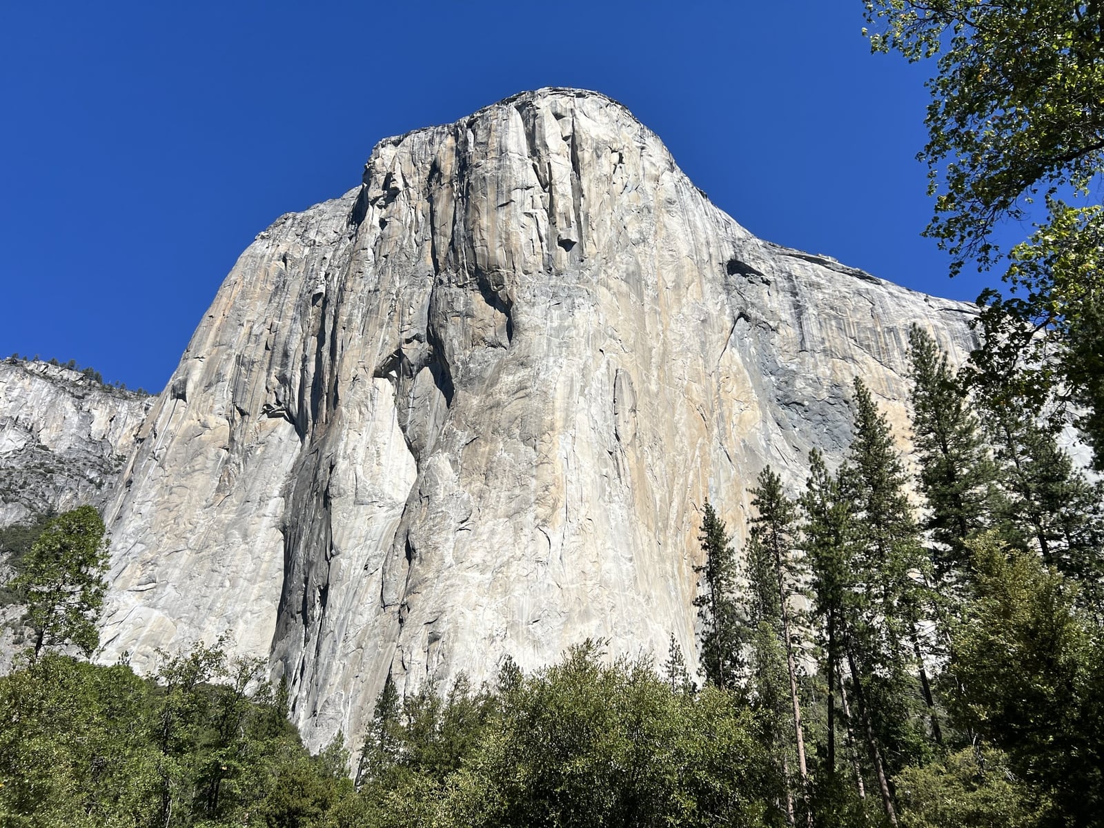
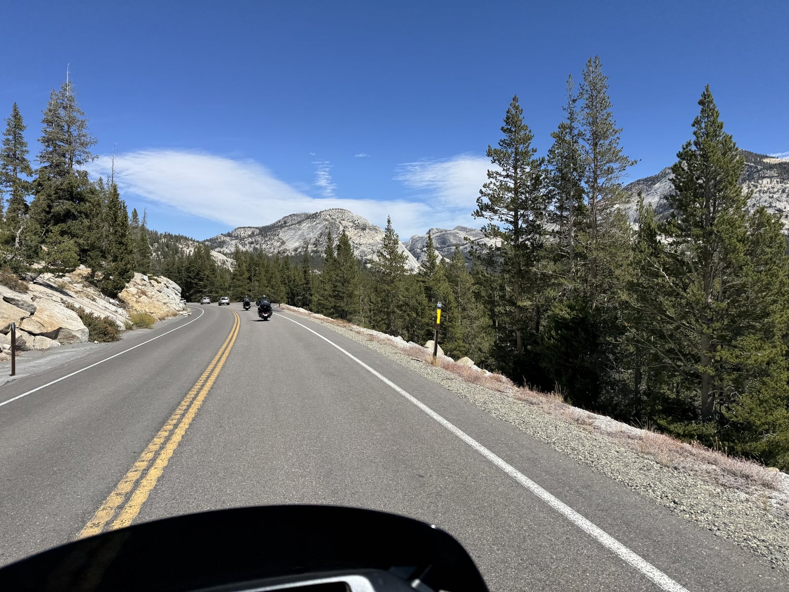
By then, Yosemite had made what we had endured to get there feel worthwhile. I was riding through it, trying to absorb it, and still struggling to believe how much beauty could fit into one day.
Tenaya Lake gave us a simple pause. Fresh, crisp air and beautiful water. We snacked, hydrated and talked about what an epic day it had been. We also checked the remaining waypoints and made sure everyone had them saved.
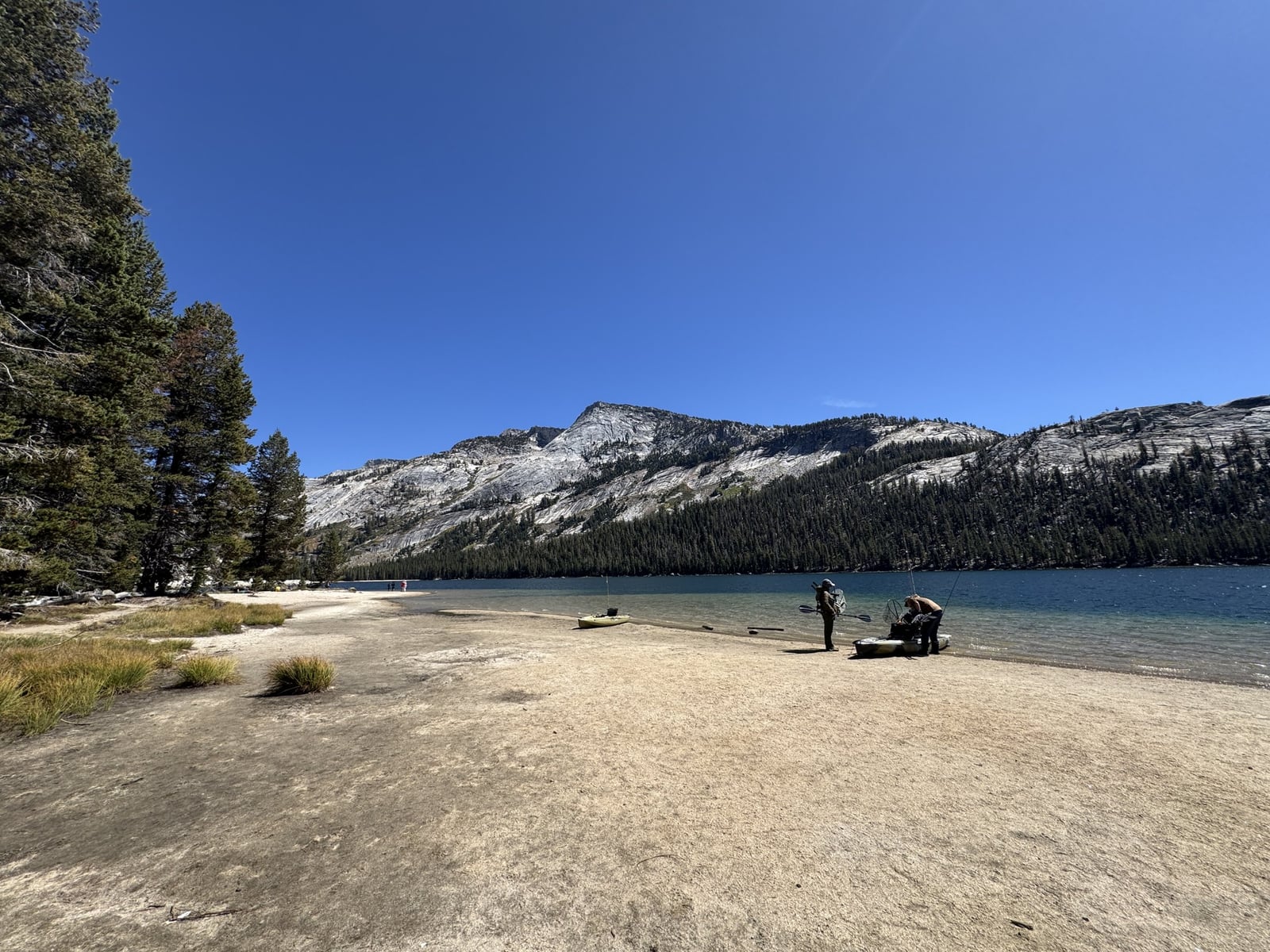
Back on the road, we saw people carrying what looked like climbing ropes. Over the intercoms we tried to spot climbers on the granite faces around us, but never did. Rock climbing joined hang gliding on the list of things we could admire without volunteering for.
Farther east, the road carried us through Tuolumne Meadows, which looked pretty dry as I recall, and on toward Tioga Pass. By the pass, we were nearly ten thousand feet up, although the height hadn’t registered with me the way it has on other mountain roads.
On Beartooth Highway or Going-to-the-Sun Road, I’ve had that feeling of riding over the top of the world. Here, with all the climbing and descending, and so much to look at, it was hard to judge just how high we were. Tioga wasn’t any less impressive because of that. It was simply different.
The descent from Tioga Pass toward Lee Vining was straightforward, and the landscape changed quickly. After so much granite and forest, the open Mono Basin felt like another place entirely. Coming out of Yosemite was a little like coming down from a scenic high. I was still processing how fortunate we were to be riding motorcycles through somewhere that beautiful.
In Lee Vining, finding a late lunch took more discussion than it should have. Limited choices, uncertain reviews and some fatigue made agreement feel strained. We settled on what seemed like the best poor choice. The food was perfectly acceptable. It simply was not going to compete with the scenery for a place in anyone's memory.
After lunch, we visited the privately operated Mono Lake visitor center in town and the Forest Service center just north of it. I’d been here before, but the volcanic origins of the islands caught my attention. I knew about the controversy over sending water to Los Angeles, but hadn’t given much thought to Mono being naturally salty long before the diversions. They lowered the water and concentrated the salts. Brine shrimp and alkali flies thrive in that salty water, supporting the birds that feed on them.
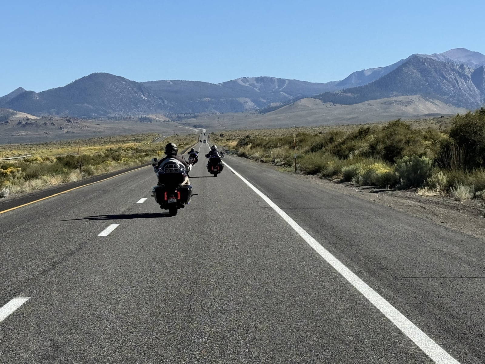
From Lee Vining, we rode out to the South Tufa area on Mono Lake’s southern shore. Even from the parking area, it looked like something out of a sci-fi movie. Hard to imagine those strange limestone towers had grown underwater, built by freshwater springs mixing with the lake, and now stood exposed in the desert air.
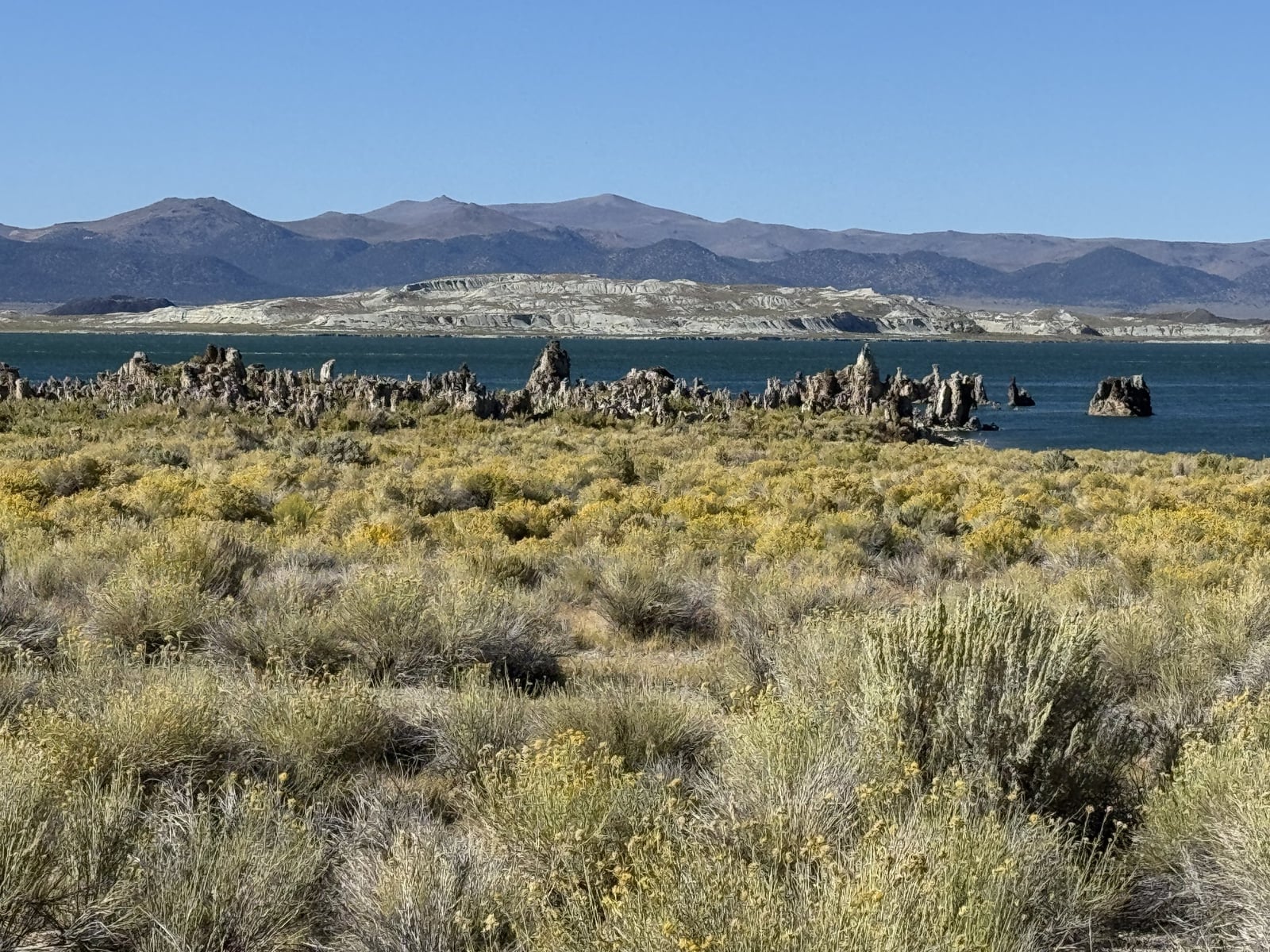
Returning toward Highway 395, we continued south and turned onto the June Lake Loop. It brought another almost immediate change. Minutes earlier, we’d been looking across Mono Lake in an arid landscape. Now we were riding among mountain lakes and forest, and it felt at least ten degrees cooler.
Grant Lake was beautiful, but Silver Lake was the first real standout for me. We stopped briefly, and the gusts felt strong enough to push the motorcycle over. It brought back a feeling I knew too well from years earlier, when I got caught in the Santa Ana winds outside Joshua Tree.
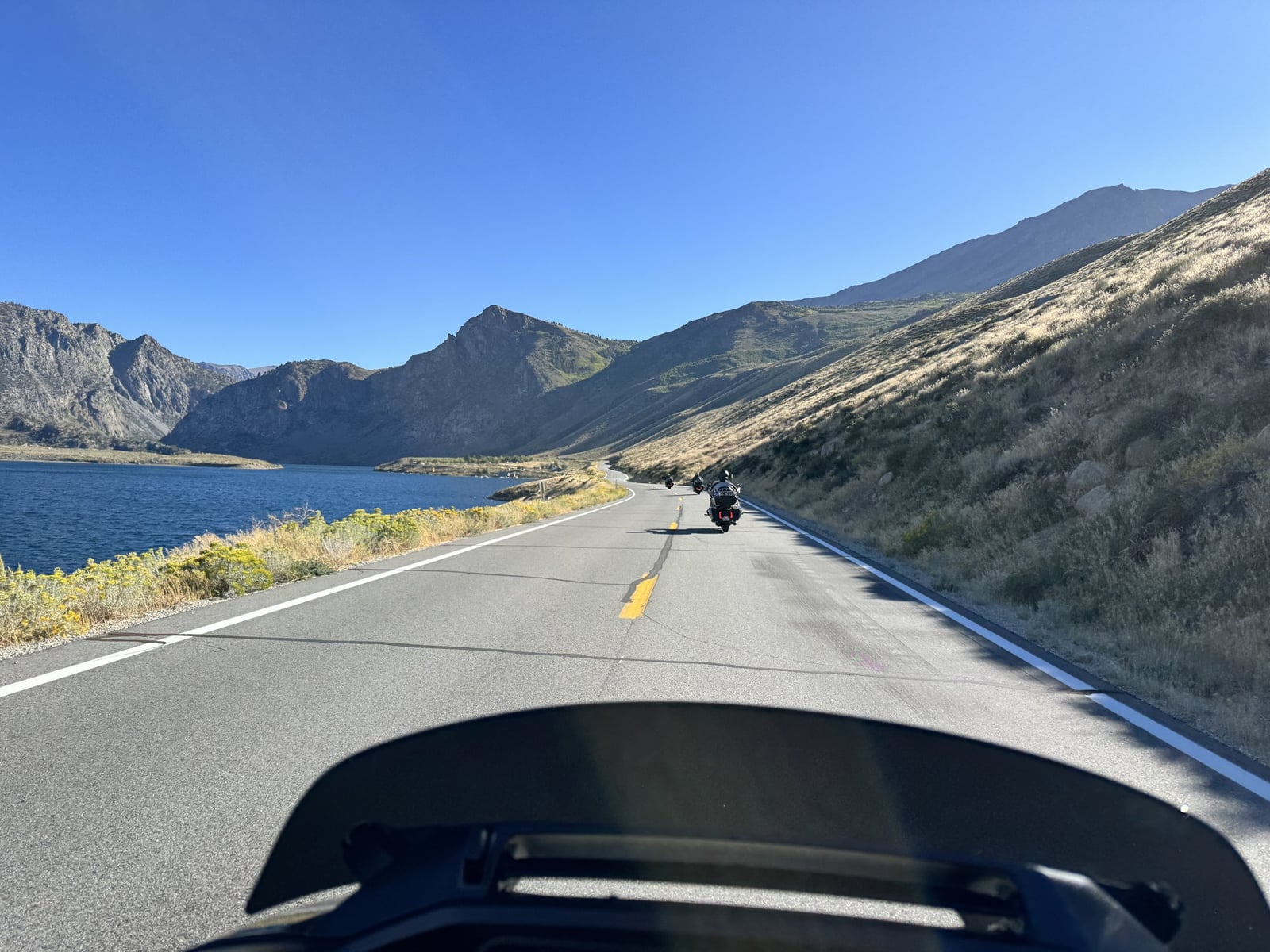
Then we reached June Lake, and I was surprised by how much of a community was there. I’d pictured something smaller. It felt like a vibrant vacation town, another reminder of why I don’t research every detail before a trip. I like having something left to discover.
The whole loop was a delight. It’s a ride I’d make time for again.
Back on Highway 395, the final fifty or sixty miles into Bishop were easy, flowing and scenic. Granite mountains, forested slopes and darker rock that looked possibly volcanic kept changing around us. The broad valley was to our left and the Sierra to our right. There was still plenty to look at while settling into a less demanding rhythm.
Bishop felt much bigger than I’d expected. I remembered reading that its population was under four thousand, so seeing a Marshalls caught me off guard. What was I missing? Tourism, through traffic on 395, people coming in from the surrounding area? There was clearly more supporting this town than its population alone suggested.
The hotel went on my never-again list. Nothing was singularly awful. It had a general malaise that a fresh coat of paint could not hide. Booking from a distance, balancing a budget and finding rooms with two queen beds occasionally produces a miss. This was one of them.